
Tasmanian Packrafters in the Brooks Range, Alaska; Alatna River and Arrigetch Peaks
John McLaine
Matt Brain
Pete Culhane
July 2014
Part 1: Packrafting the upper Alatna River.
On July 20 2014, our group of three Tasmanian packrafters commenced our first trip in the Gates of the Arctic National Park, part of the Brooks Range, Alaska. We have a reasonable collective amount of experience in wilderness packrafting and mountain travel, but the Arctic environment is very different to our home wilderness in Tasmania, so we were very keen to experience this new and different environment. We undertook a considerable amount of research in preparation for our trip, and feel that overall we were fairly well prepared. There are a couple of things I would do better next time (mostly socks and gloves), and will discuss those for the benefit of any other packrafters from temperate and warm climates contemplating a trip to the Brooks Range. Our initial plan was to undertake the Arctic Circle Route, as devised and described by Roman Dial. When we arrived at the National Parks Rangers’ Station in Bettles, the rangers informed us that at least one of the critical mountain passes of that route was “out of condition and impassable”, due to unusually late and deep snowfalls leaving deep, unstable and dangerous drifts. We accepted the advice of the local experts, and came up with a revised plan; we would float the Alatna River from its source at Gaedeke Lake to Takahula Lake, and undertake a side-trip to the valleys of the Arrigetch Peaks area en-route. We allowed thirteen days including drop-off and collection by chartered float plane; a magnificent 1952 De Havilland Beaver.
Day 0
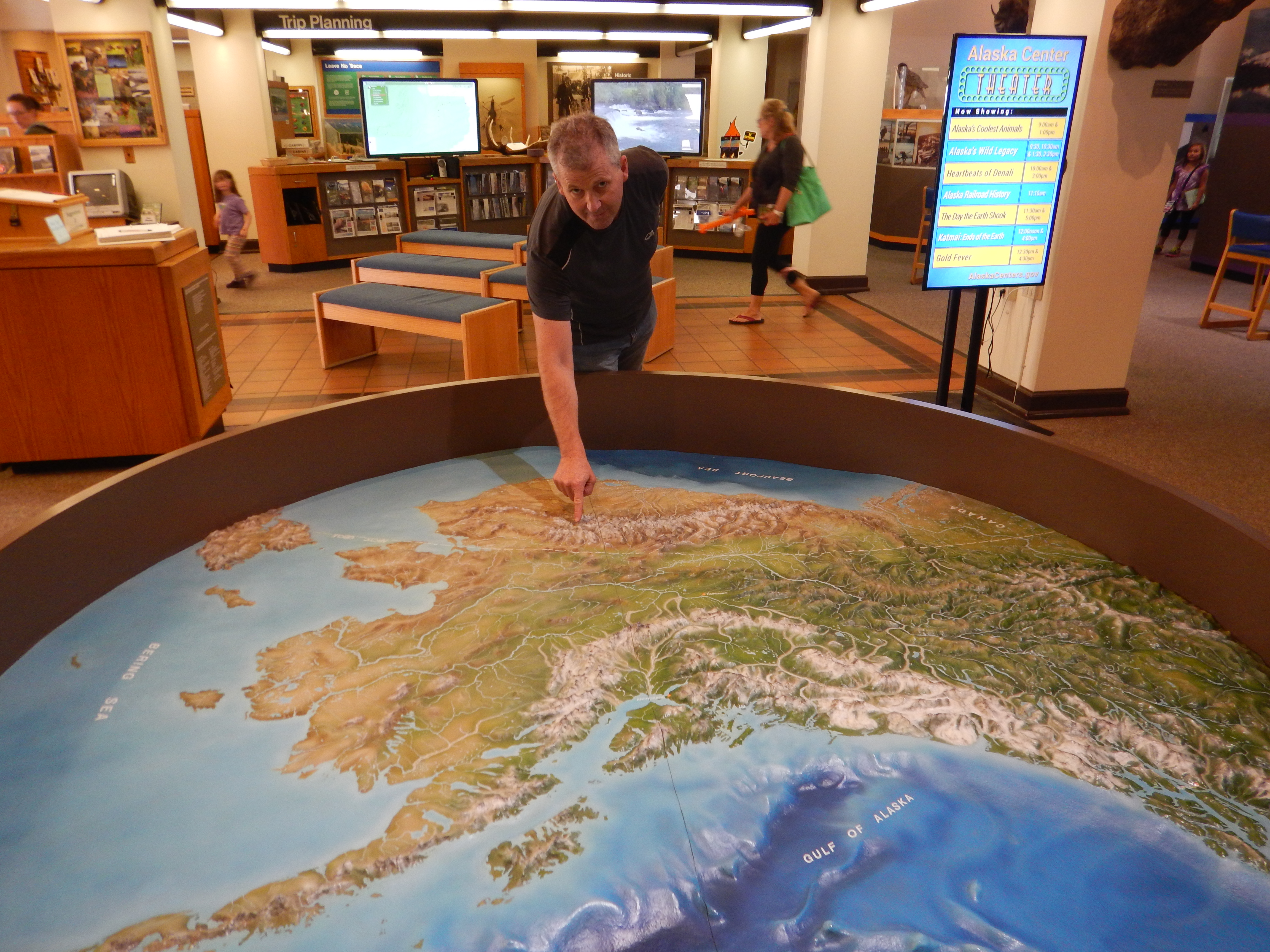
At the National Parks Visitor Centre in Anchorage, pointing out our route location on a 3-D model of Alaska. Later on Day 0 we flew to Fairbanks.
Day 1
We flew by Wright Air from Fairbanks to Bettles on the morning of Day 1. After revising our plan in discussion with the rangers at Bettles, we were dropped off by Bettles Air Service in their beautiful 1952 Beaver towards late afternoon at Gaedeke Lake, near the Continental Divide, and after walking across the tundra for no more than half an hour to find a decent campsite, we decided to climb one of the nearby unnamed peaks for views to the north beyond the Continental Divide.

This extract from Google earth shows an overview of the main features discussed. For more detailed information on the location, please explore Google earth.
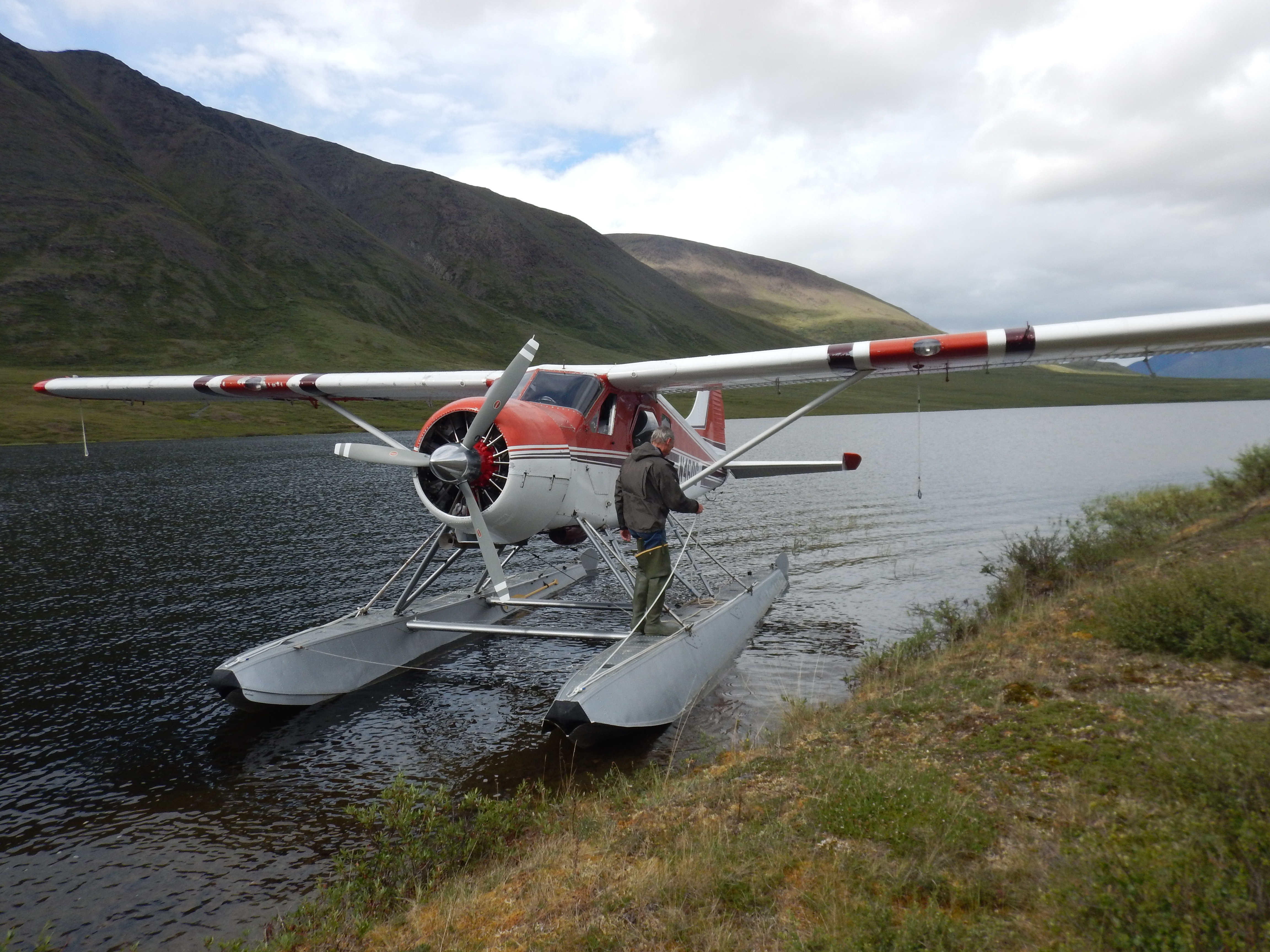
The 1952 De Havilland Beaver after dropping us off at Gaedeke Lake
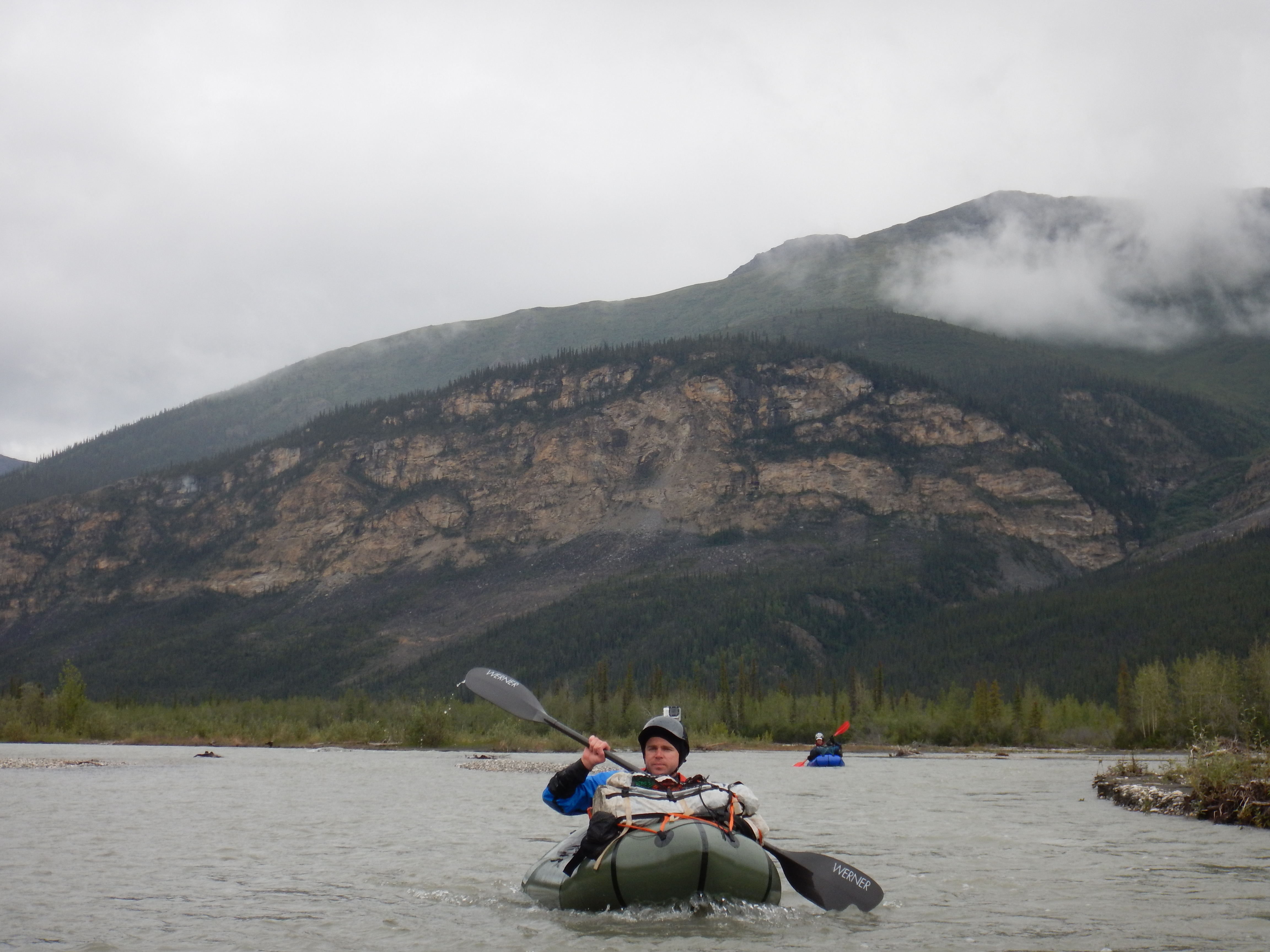
Pete. We were excited to finally be on our own in the Alaskan wilderness, and on the move.
Our first tent site. Mostly heavily overcast but with clear visibility, Day 1 was a good introduction to Alaska. The wind was bitingly cold and brought occasional light hail showers. The tent is a Mountain Designs Kaon, a discontinued minimalist 3-person silnylon tent which proved to be quite suitable for the conditions encountered.

The first unnamed peak we climbed. We saw signs of wolf, caribou and bear up on these alpine ridges.
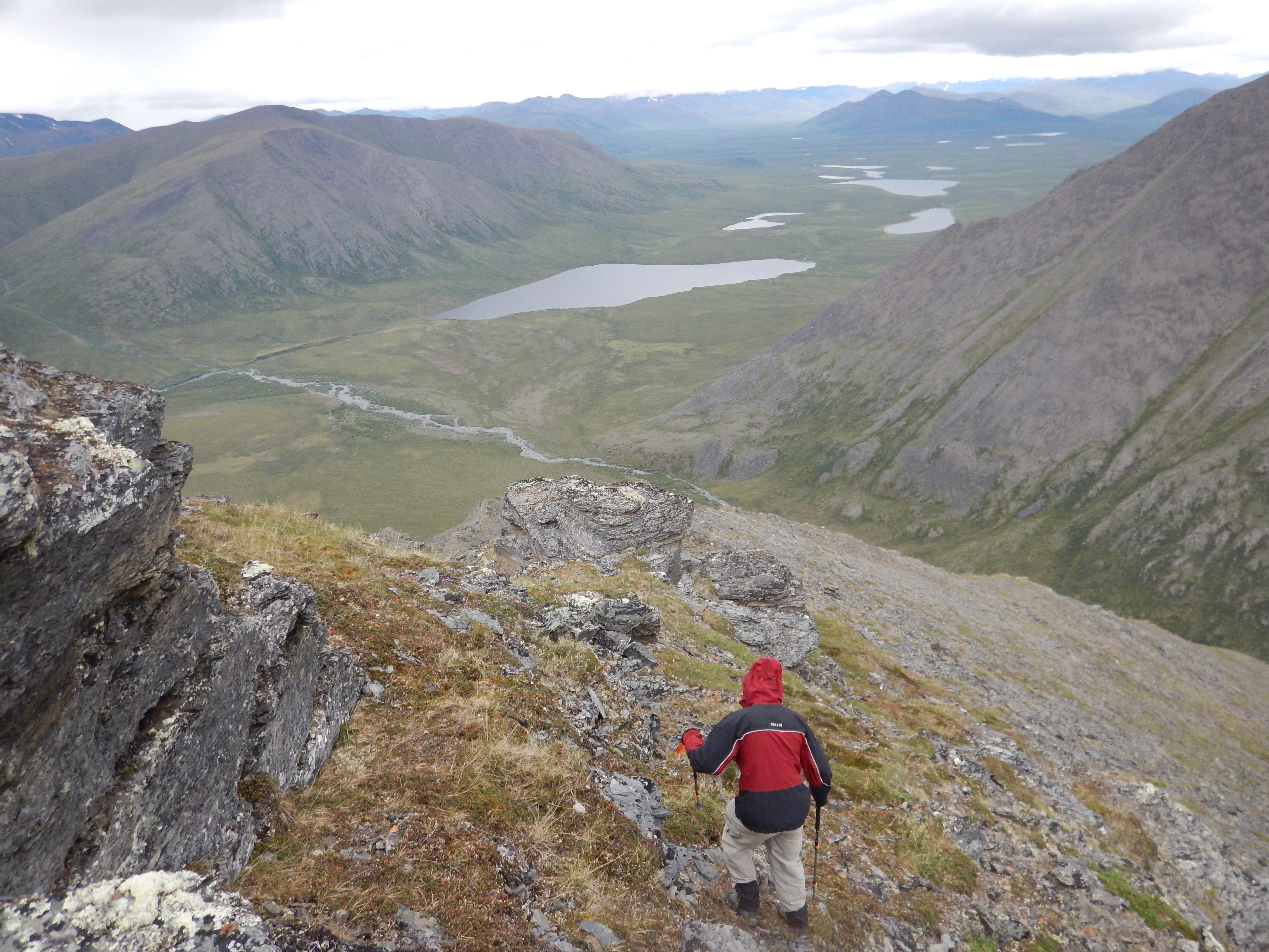
Pete descending the first peak to our camp, on the bank of the braided stream running from the valley in the lower right corner of the picture. The Alatna River is the stream that exits the central lake to the left.

Views to the mysterious North Slope. There were glimpses of shimmering snow domes, the higher peaks of the northern ramparts of the Brooks Range beyond the Continental Divide.

Caribou antlers were found in some surprising places, high in the alpine peaks and valleys.
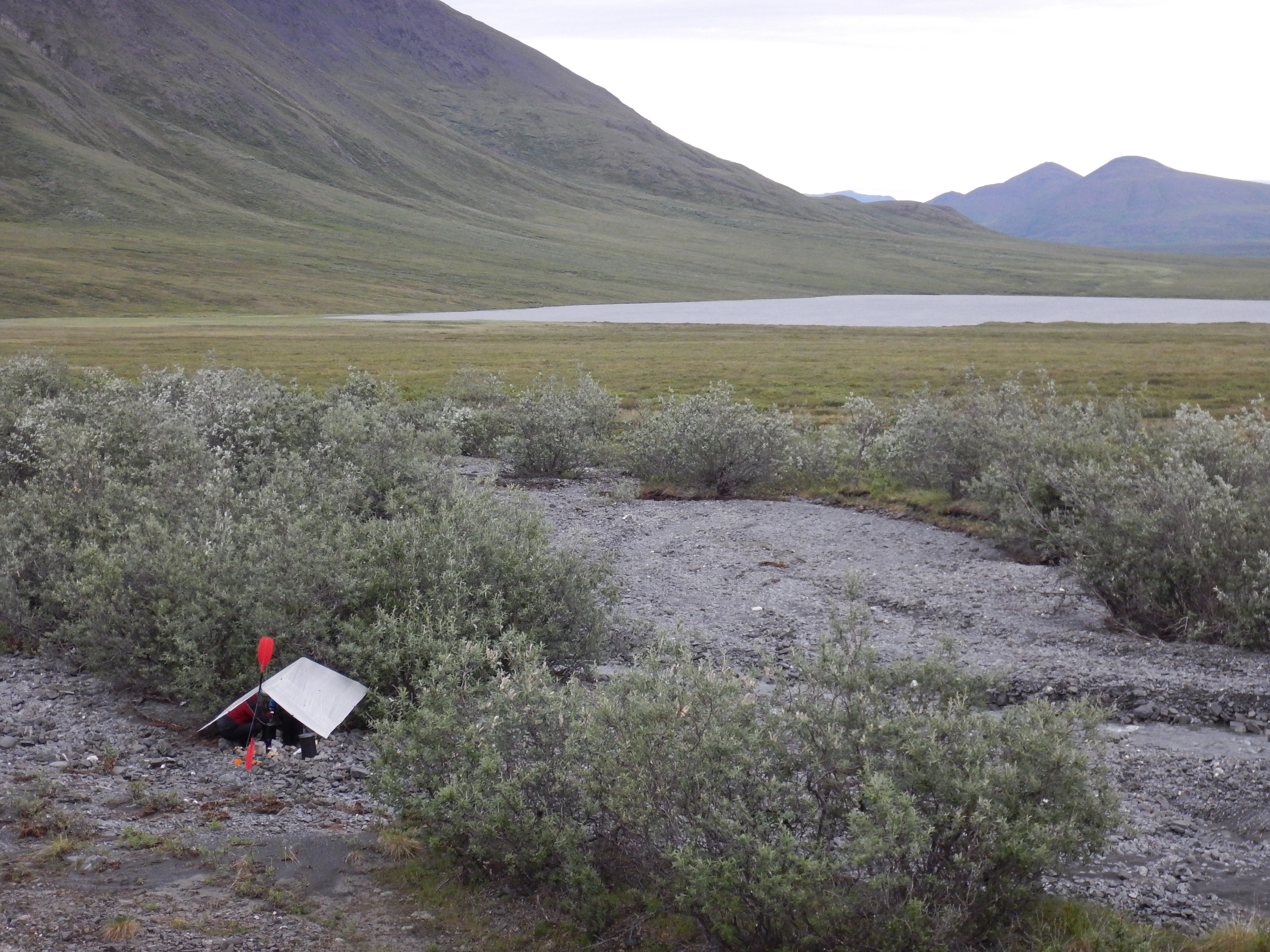
Our cooking shelter on Day 1. It is recommended that you create a triangle with sides of approximately 100m between tent, kitchen and food storage area, as good practice to minimise unhappy bear encounters.

Huddled under the HMG Cuben tarp to cook in shelter from the wind and hail. The black cylinders were our bear food barrels, Wild Ideas Bearikades.
Day 2
We woke to hail showers, occasional sleet and a bitter headwind. From its source in Gaedeke Lake, the Alatna is a small stream to begin with. We paddled mostly past permafrost and tundra, with the only shrubs a few stunted willows by the river bank.

The outlet of Gaedeke Lake; the start of our packraft journey down the Alatna River.

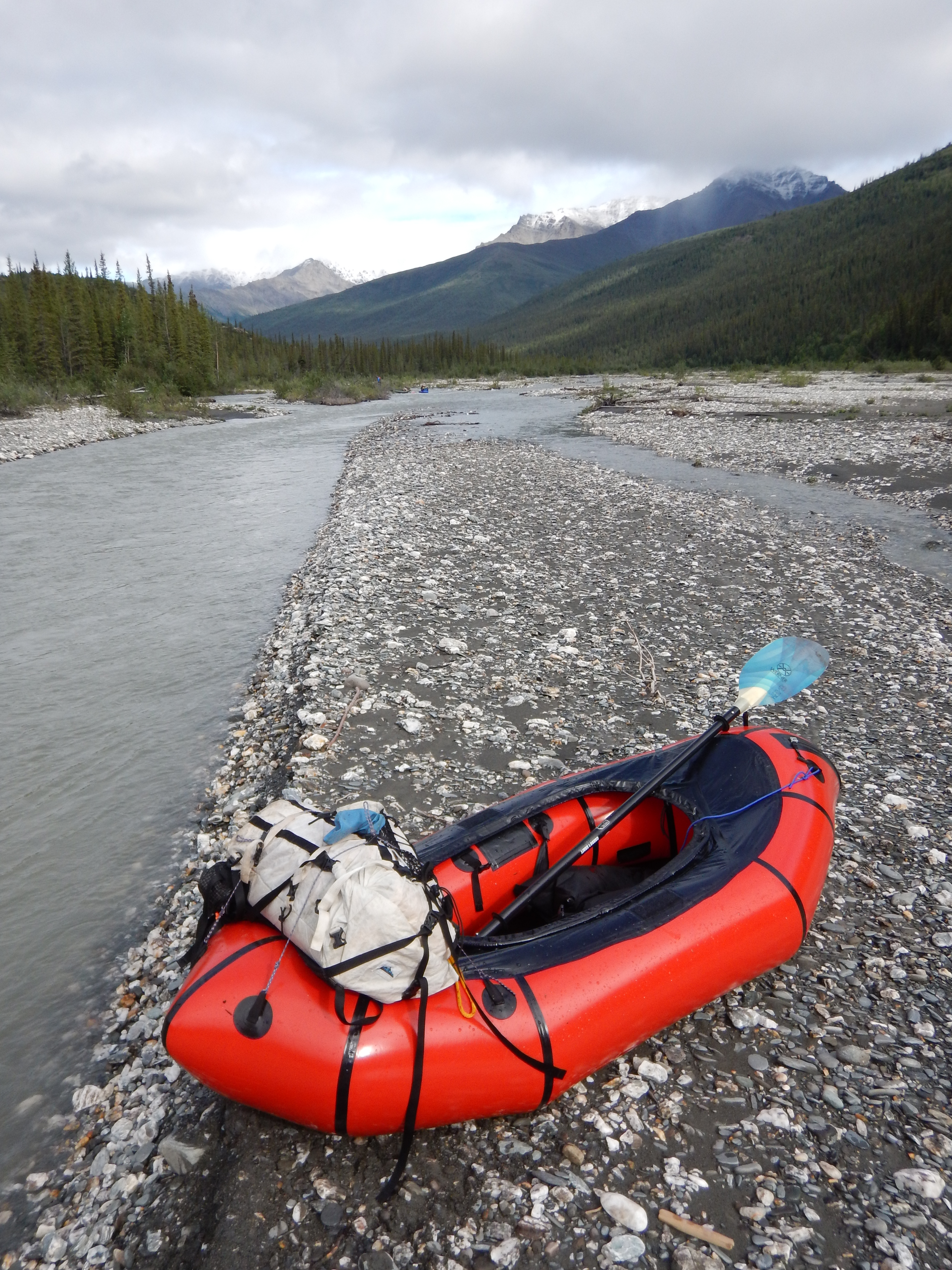
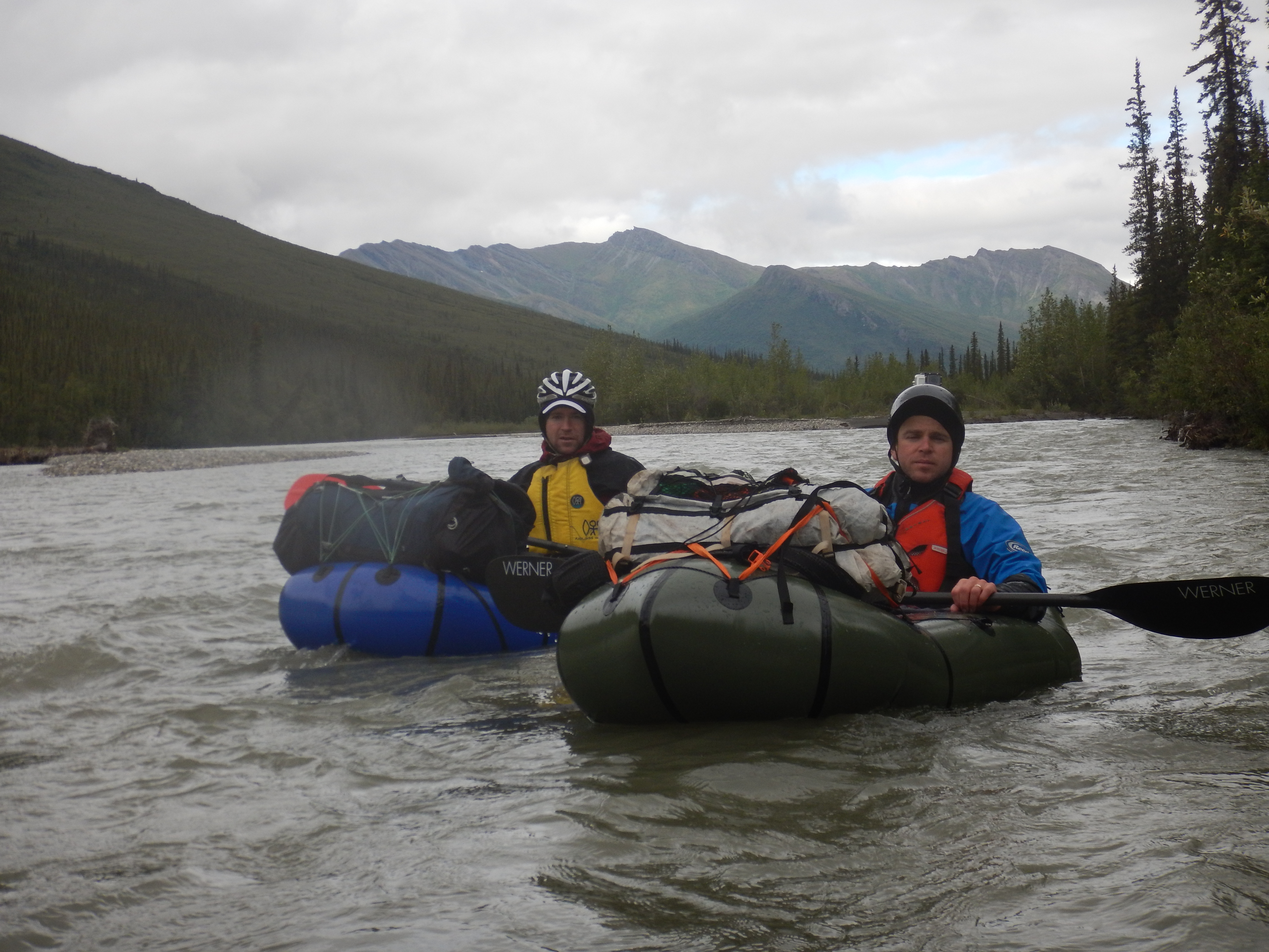
Both Matt and I have the new model Alpacka boats with the Cargo Fly for internal storage, however the internal storage cannot accommodate a bear barrel, so these were stowed in our HMG Porter rucsacs on the foredeck.

Occasionally we needed to line our boats through shallow water during the first few hours on the river.

The permafrost was clearly visible where it was exposed in undercut river banks.

Taken from my boat; a small pingo of 15 to 20 meters in diameter breaks the tundra surface.
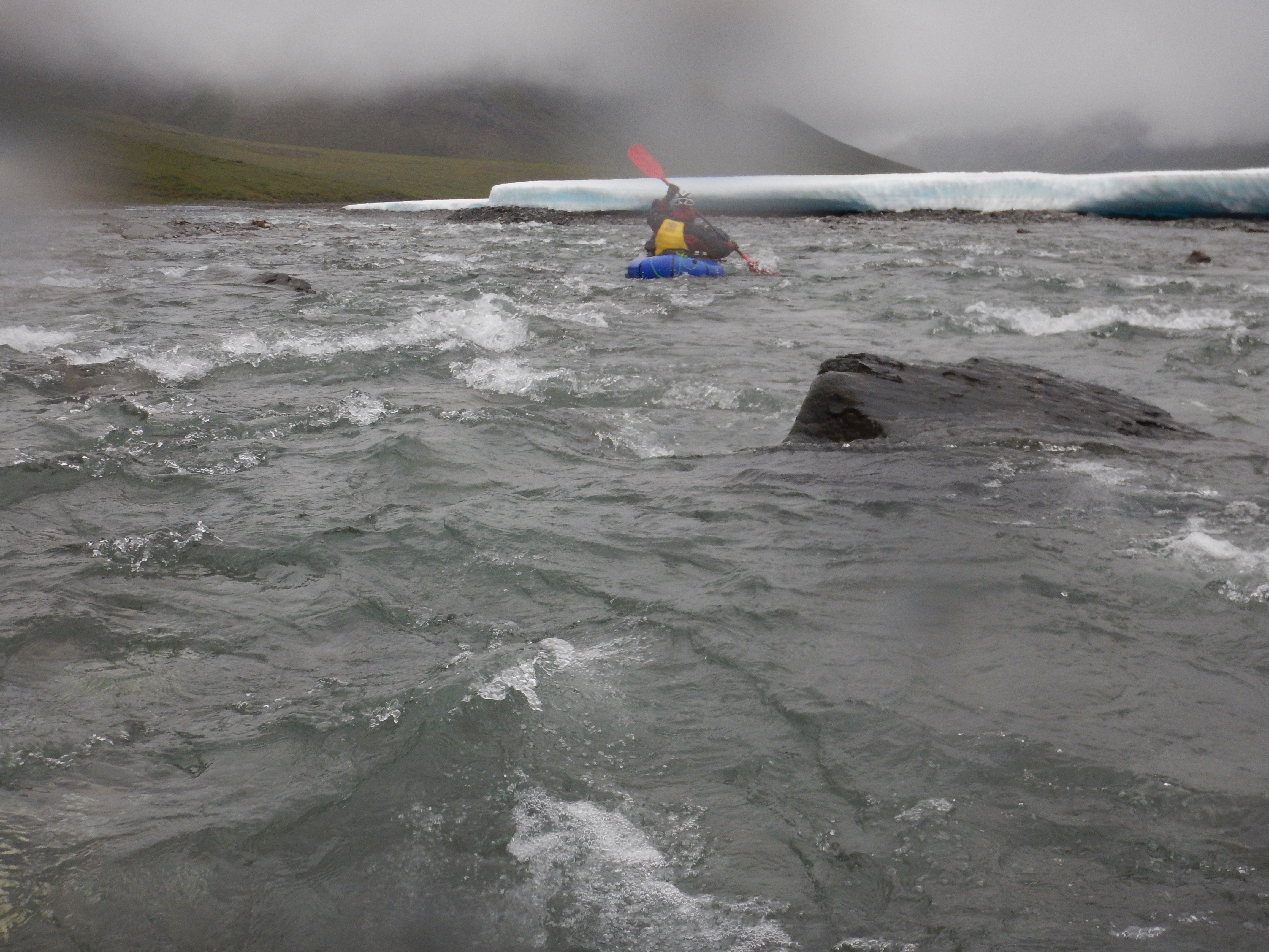
Large sheets of aufeis lined the banks in the upper reaches of the river. With a bitter headwind and freezing water, our hands and feet became numb with cold on this day. I had thin merino woollen gloves with Gore-Tex overmitts, and in hindsight, I wish I had taken my Patagonia wool-lined neoprene paddling gloves because my hands were like ice-blocks by the time we were forced off the water by cold in mid-afternoon. I had an Alpacka Trekker drysuit and was comfortable on legs, arms and torso, but my feet were numb with cold, despite having Sharkskin socks inside my drysocks. Matt and Pete were similarly challenged by the cold, although with slightly different combinations of gloves and foot protection. This is the one area in which we were slightly underprepared, and we had to rely on mental toughness to work through cold hands and feet. I had a pair of woollen walking socks I could have added to my Sharkskin and drysocks, but I was stubbornly keeping those in reserve for the Arrigetch Peaks. Lower on the river towards Circle Lake, with water a few degrees warmer and better weather, it wasn’t an issue, but in the iciest headwaters and with cold weather, hand and foot protection was a problem. Next time I’ll be taking better foot protection and my thick neoprene paddling gloves.

The remarkable aufeis sheets lining the river banks.
Towards mid-afternoon the bitter headwind and the chilled water sloshing over our numb feet and hands convinced us to retire for the day. We had covered plenty of distance in only about 5 hours of paddling and lining.

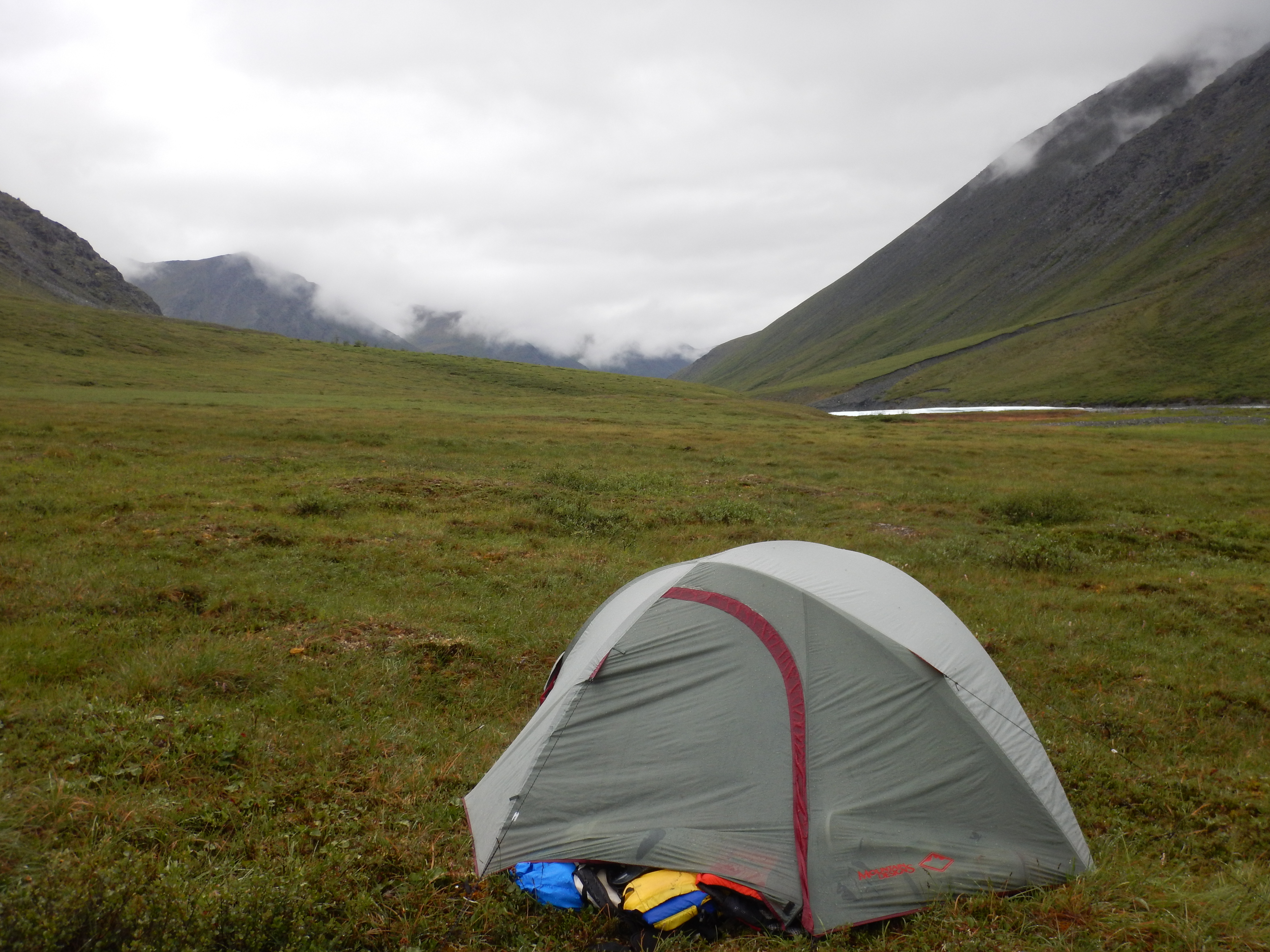
Campsite for Day 2 and Day 3.
The weather continued to deteriorate through the evening of Day 2 and by the morning of day 3, it was raining heavily. The rain was settling as snow just a couple of hundred metres up the valley sides. We knew that progress would be cold and difficult in the steady rain, and we had time to spare in our schedule, so we decided to sit day 3 out in the tent. This proved to be a great decision because the rain did not relent all day, and on days to come, the weather gradually improved and warmed.
Day 3: we emerged from the tent only briefly as it rained incessantly. Our disciplined approach to cooking and eating dissolved here; we took a calculated risk on reheating freeze-dried food in the vestibule of the tent, but still stored our food 100m away.
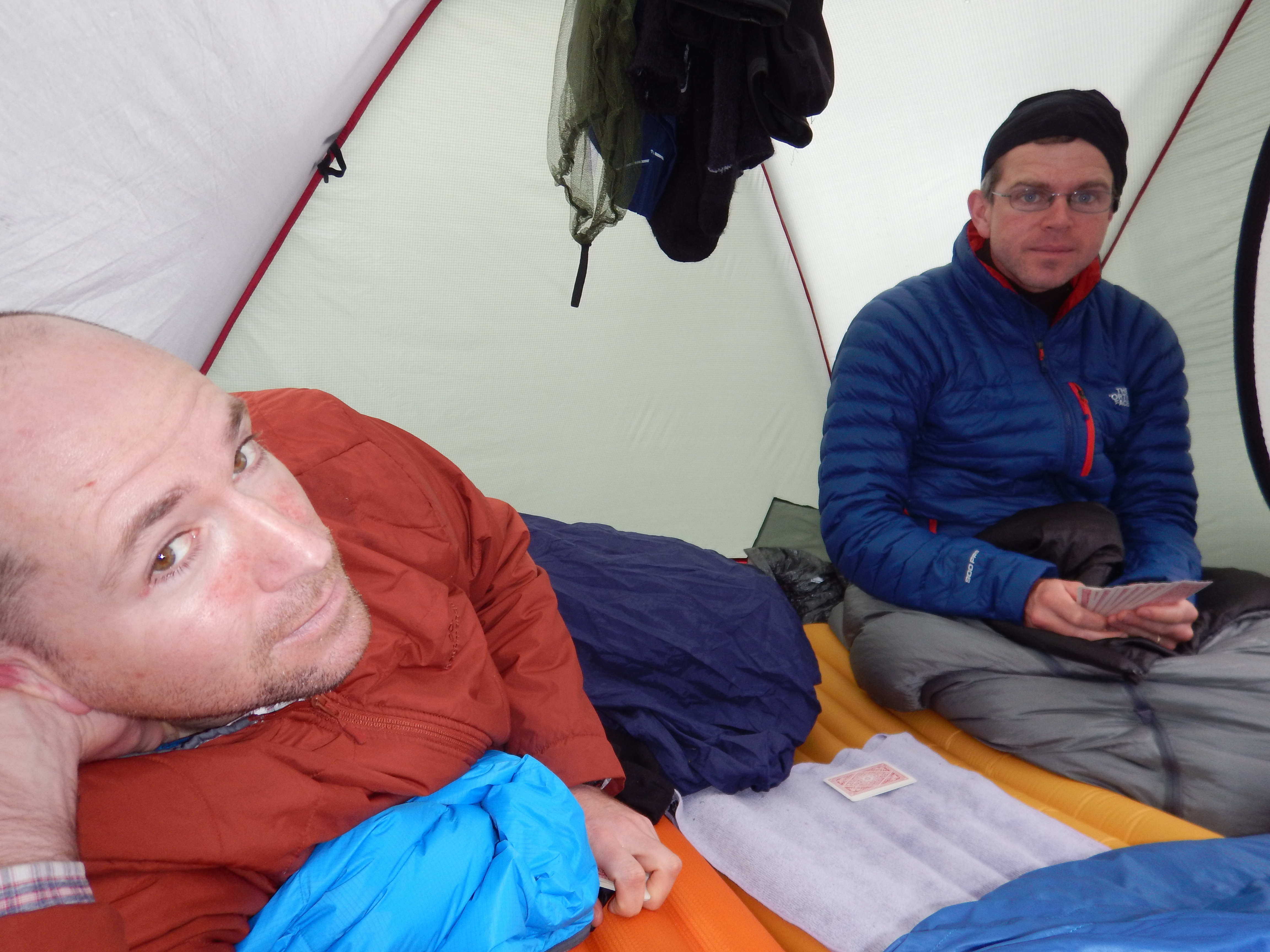
Rain, rain, rain… a good day for cards.
Day 4
The rain had brought the river level up dramatically, what were mostly dry shingle braids became full and pumping. The weather was still cold, windy and showery, but gradually improved through the day.
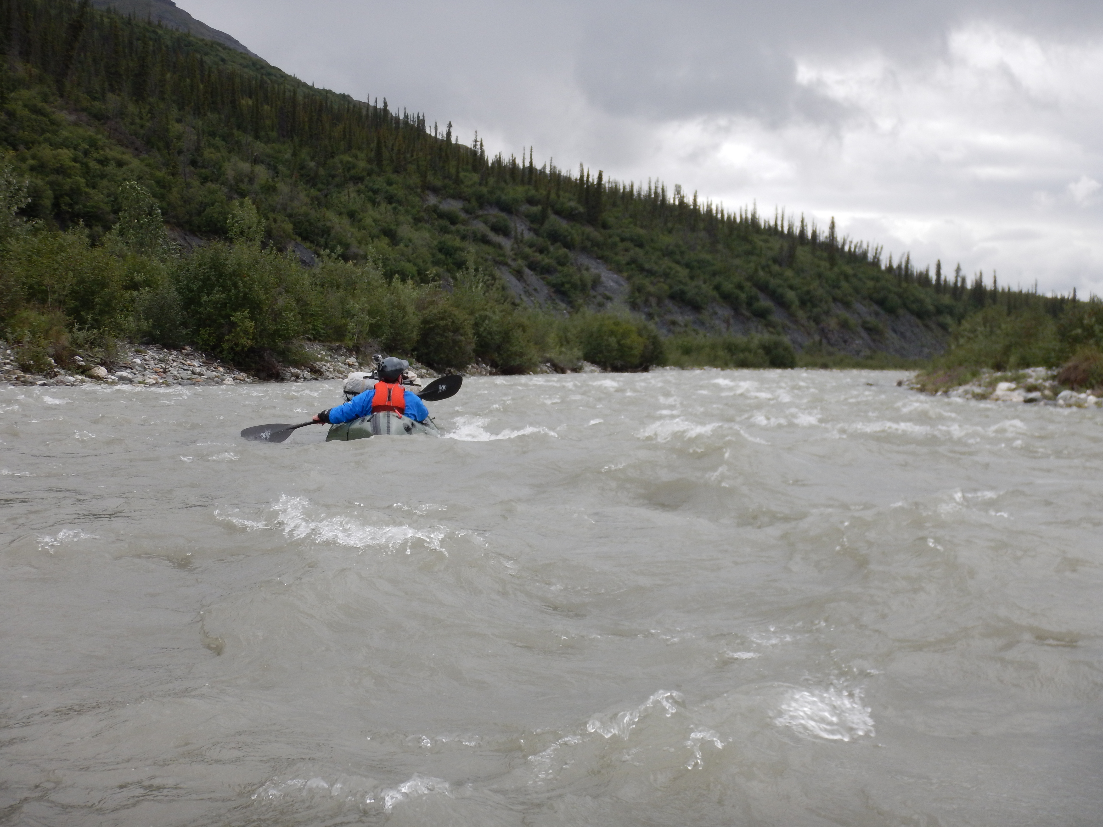
Pete was the first on the water on Day 4.

Typical of the views up the side stream valleys.
The river was fast and cold. We were keen to see the first Spruce trees, to provide a modicum of shelter from the cold headwind.
Both Pete and I had slow leaks in our seats. Regular reinflation was necessary to keep our bums out of the chilled water sloshing around in our boats.

Matt cruising down the upper Alatna.
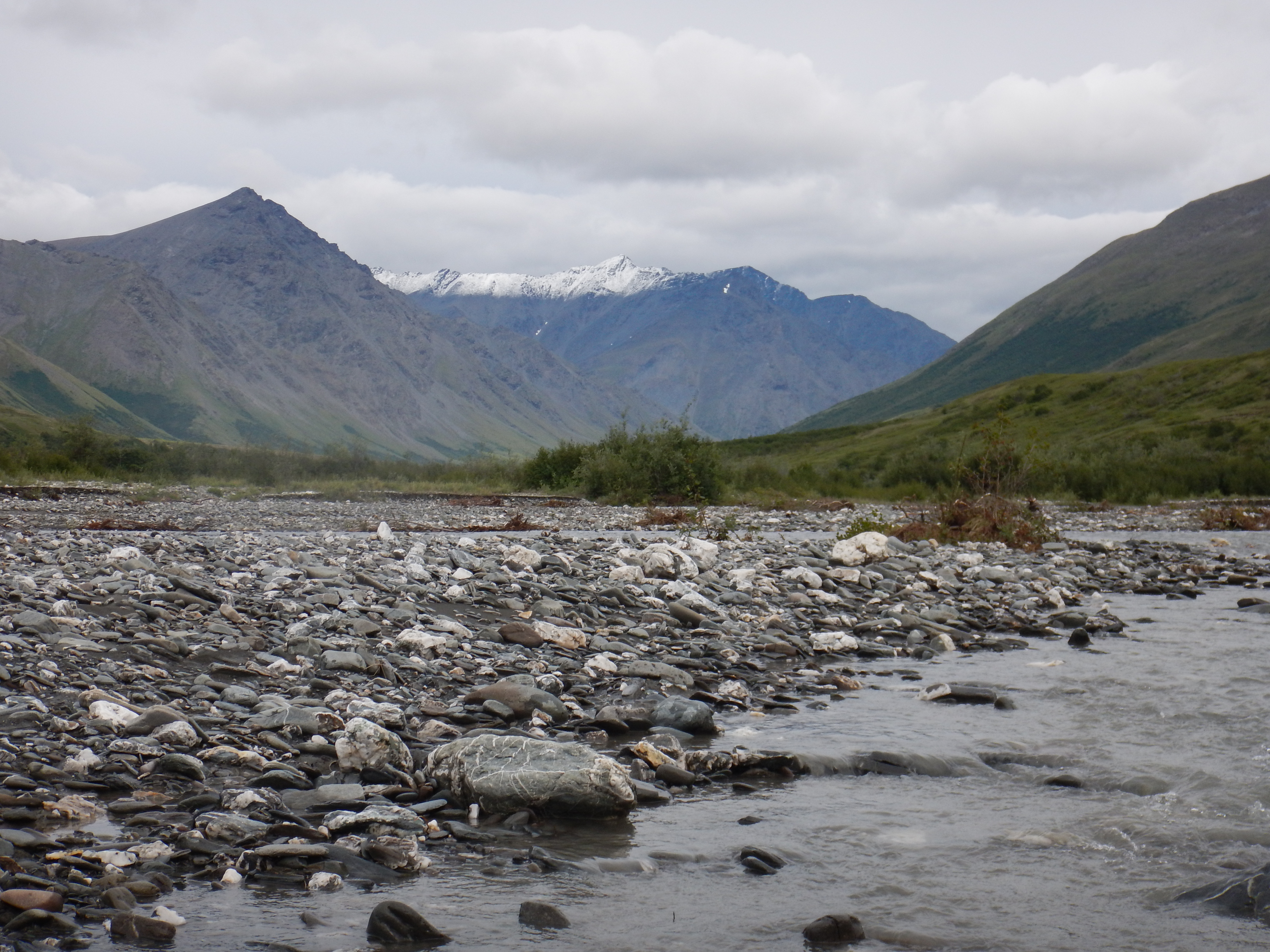
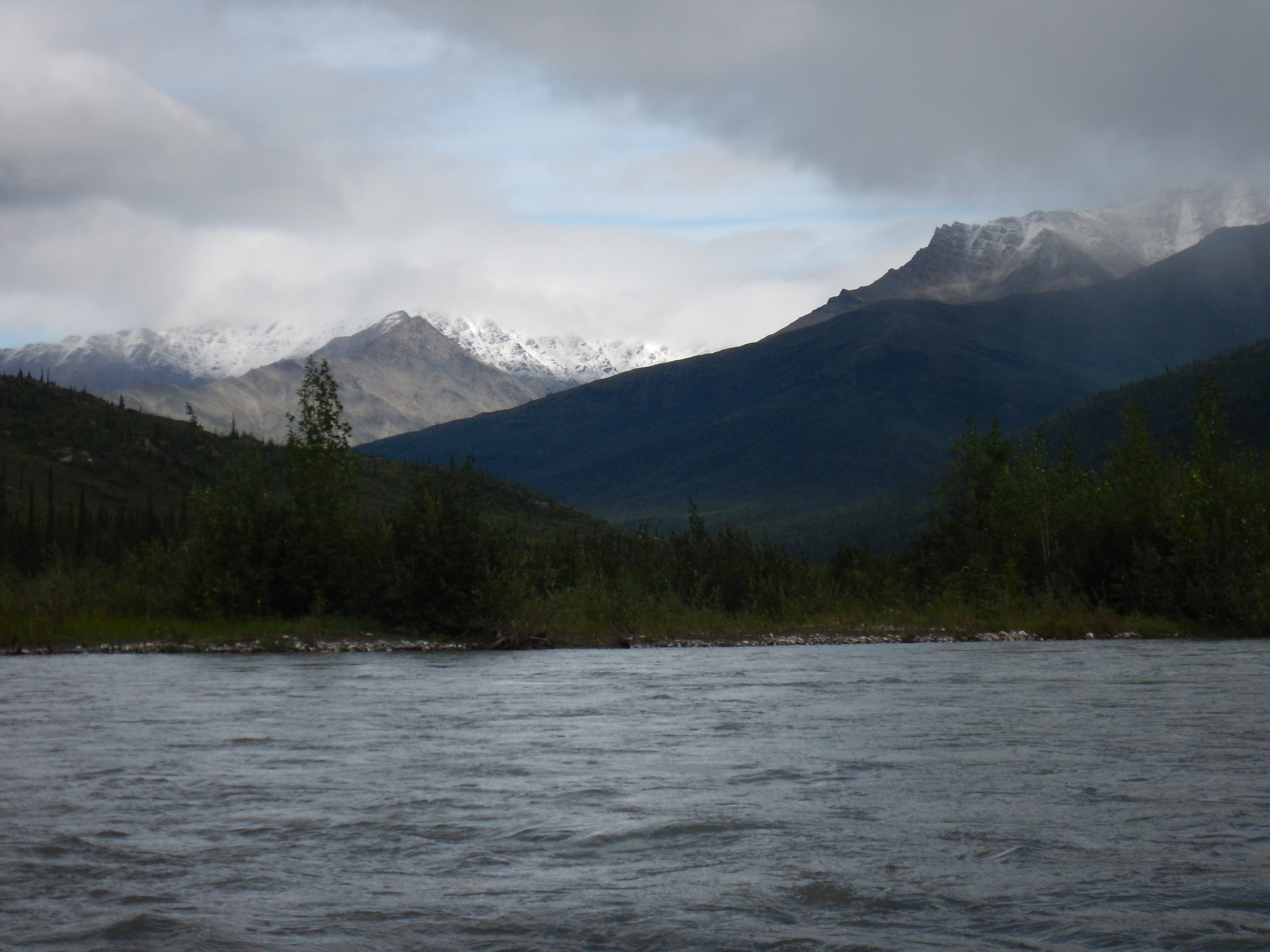
Unnamed snowy peaks added drama to the river scenes.

Fresh snow up high on the valley sides.
Cloud lifting, weather improving on Day 4.
The first Spruce trees! They were small and spindly but provided occasional windbreaks and of course more diverse habitat for wildlife.
If it still looks cold, it’s because it was.

Not a great photo, sorry, but that’s a Bald Eagle in the lower centre. It watched us paddle towards it, then glided down from its perch in a small Spruce, skimmed the shingle bank and found a fresh perch 100m downstream.
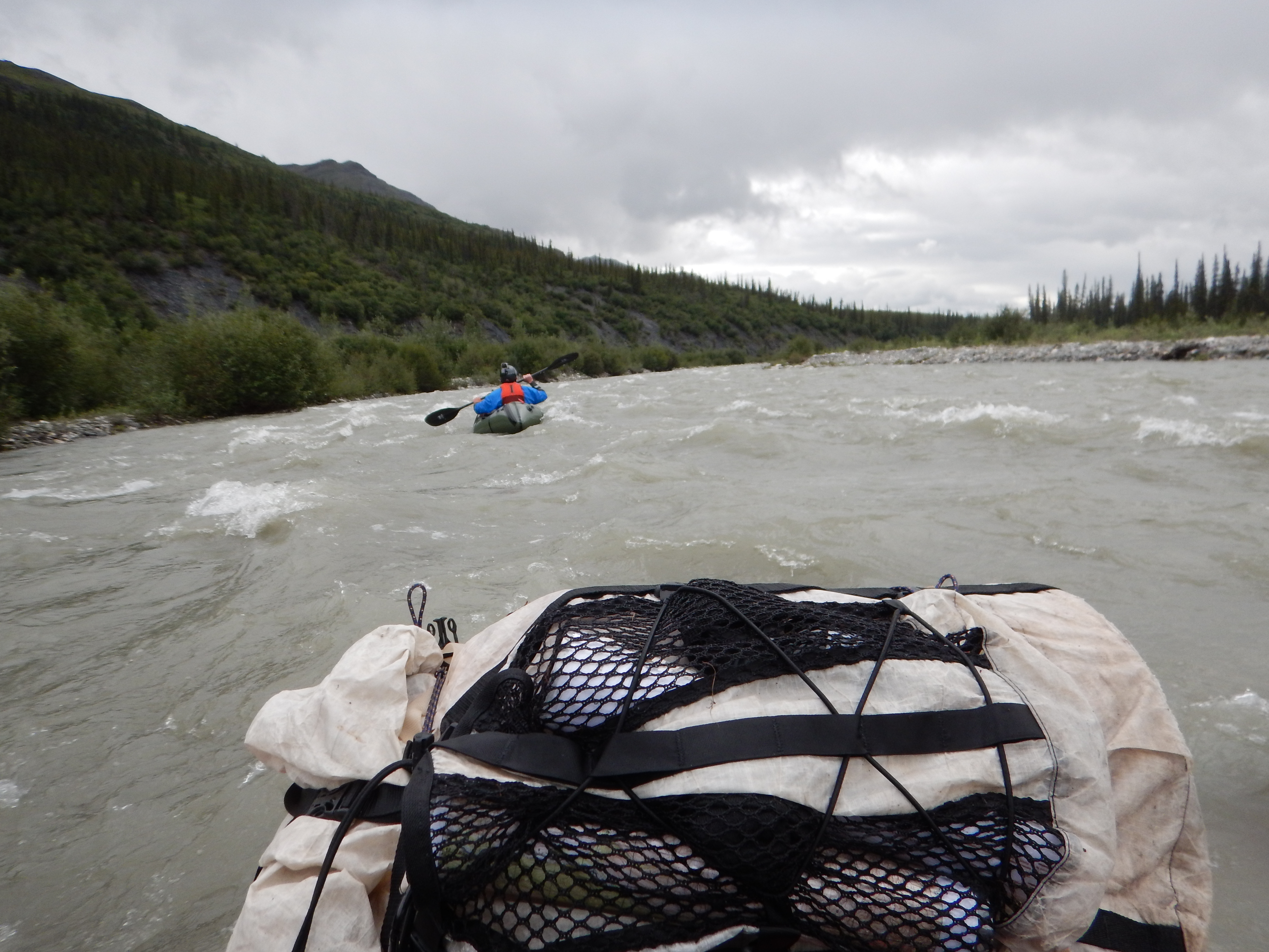
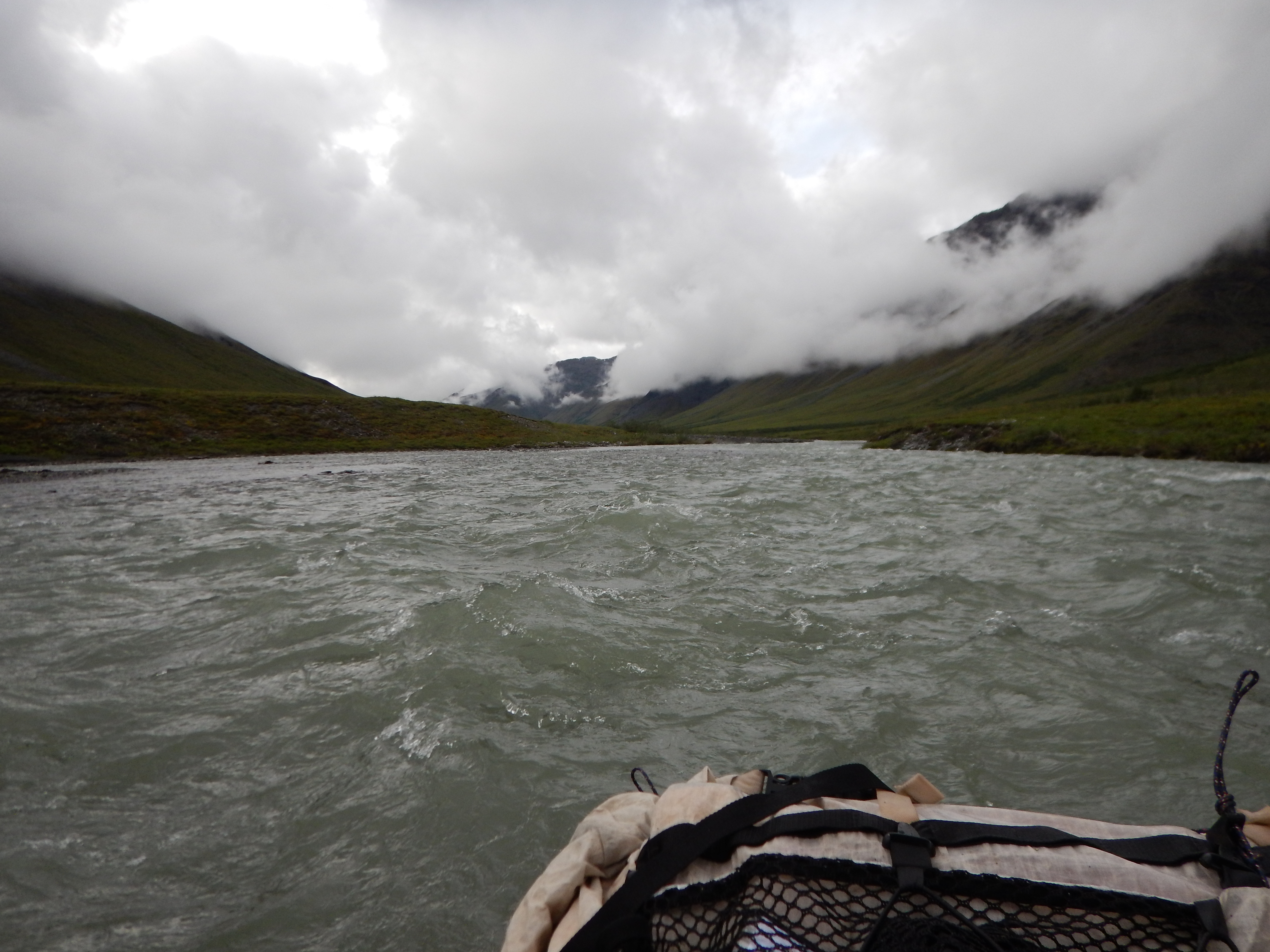
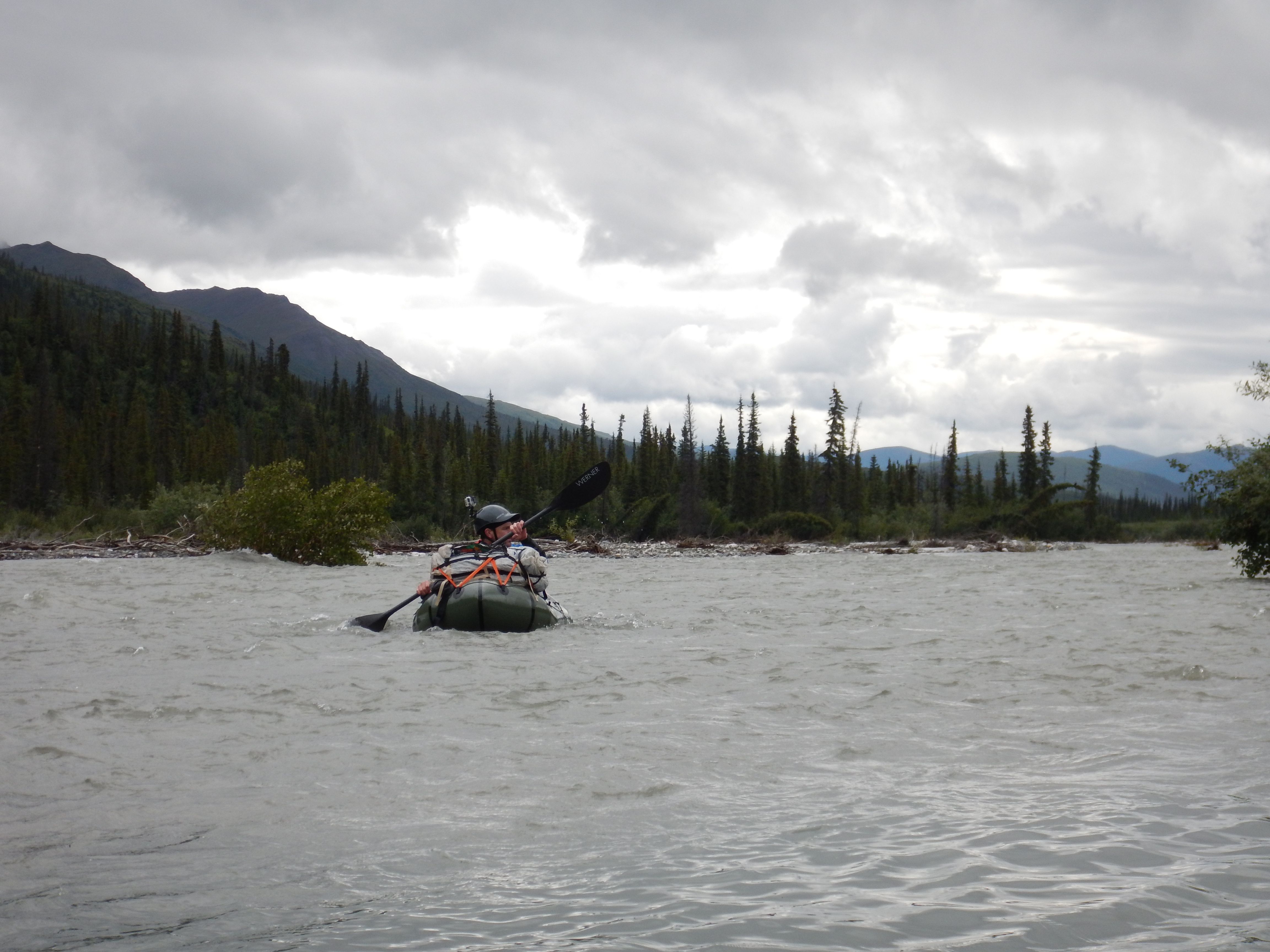
Kilometre after kilometre of fast bouncy grade 2/3 paddling.
Matt mooching along the upper Alatna.

This innocent looking headland was actually quite a nasty obstacle at this water level. It was quite considerably undercut, with a natural pinch point from a shingle bank on the opposite side. It required a hard fast effort to avoid a nasty trouble spot.
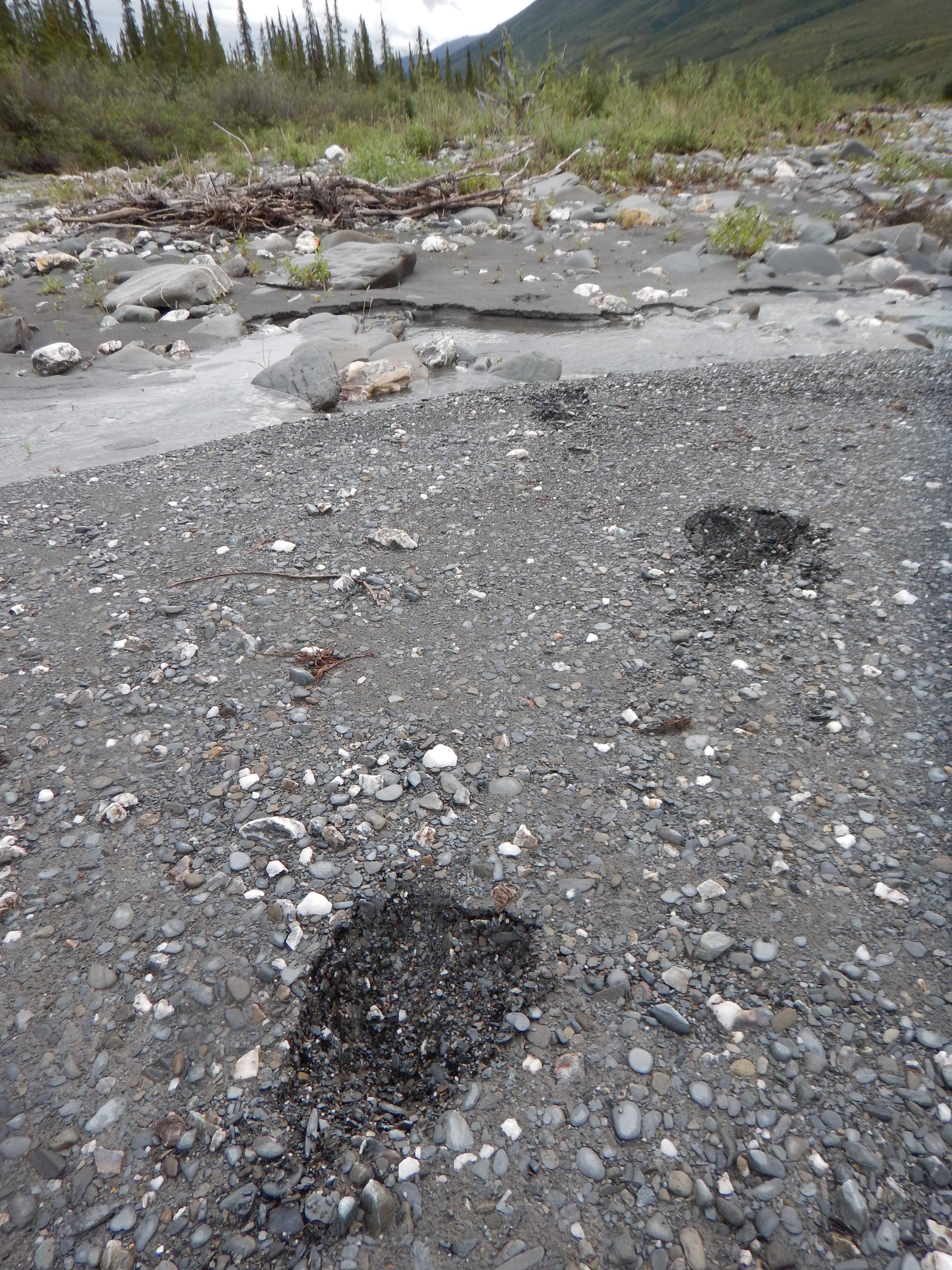
Our first fresh moose tracks!

At first we were unsure what animal this print represented, but we soon learned that it was moose.

Pete doing his thing, upper Alatna.

Campsite for Day 4, amongst the Spruces and Birches. We had covered about half the distance to Arrigetch Creek on this day, thanks to high fast water. This habitat obviously had more to interest a hungry bear than the tundra of the upper reaches, so we reverted to careful camp-craft with cooking and food storage.

Jus behind our campsite was this amazing natural path, developed over countless years by moose and followed by bears and other animals.
Day 5
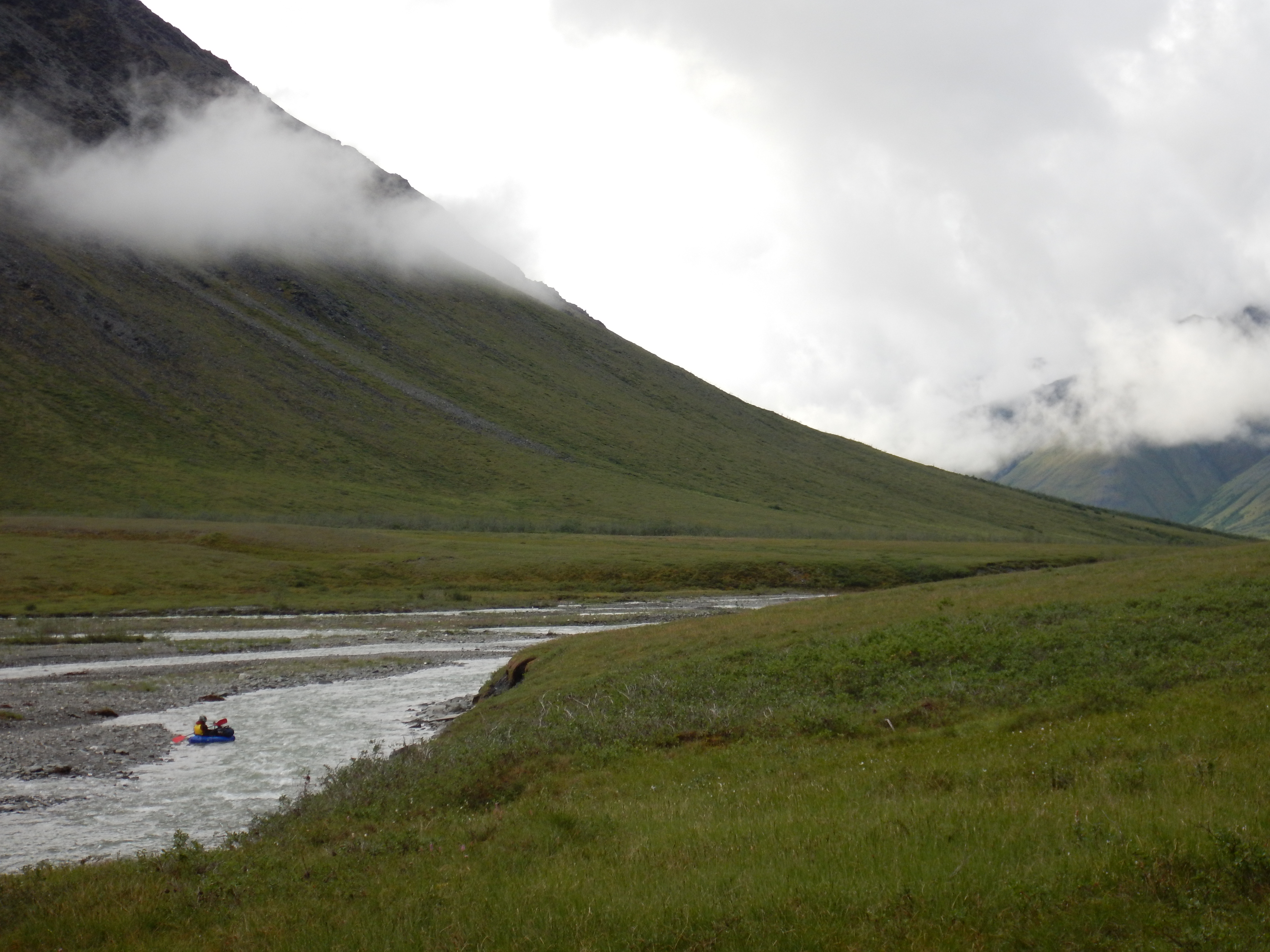
Our goal for Day 5 was to cover the remaining river distance to Arrigetch Creek, a distance of approximately 35 kilometres. Given the fast pace of Day 4, we thought this should be easily achievable, and so it proved to be, in only about 5 hours on the water. The weather had continued to gradually improve, and the river was high but dropping.
Looking upstream from near the campsite, middle Alatna River.
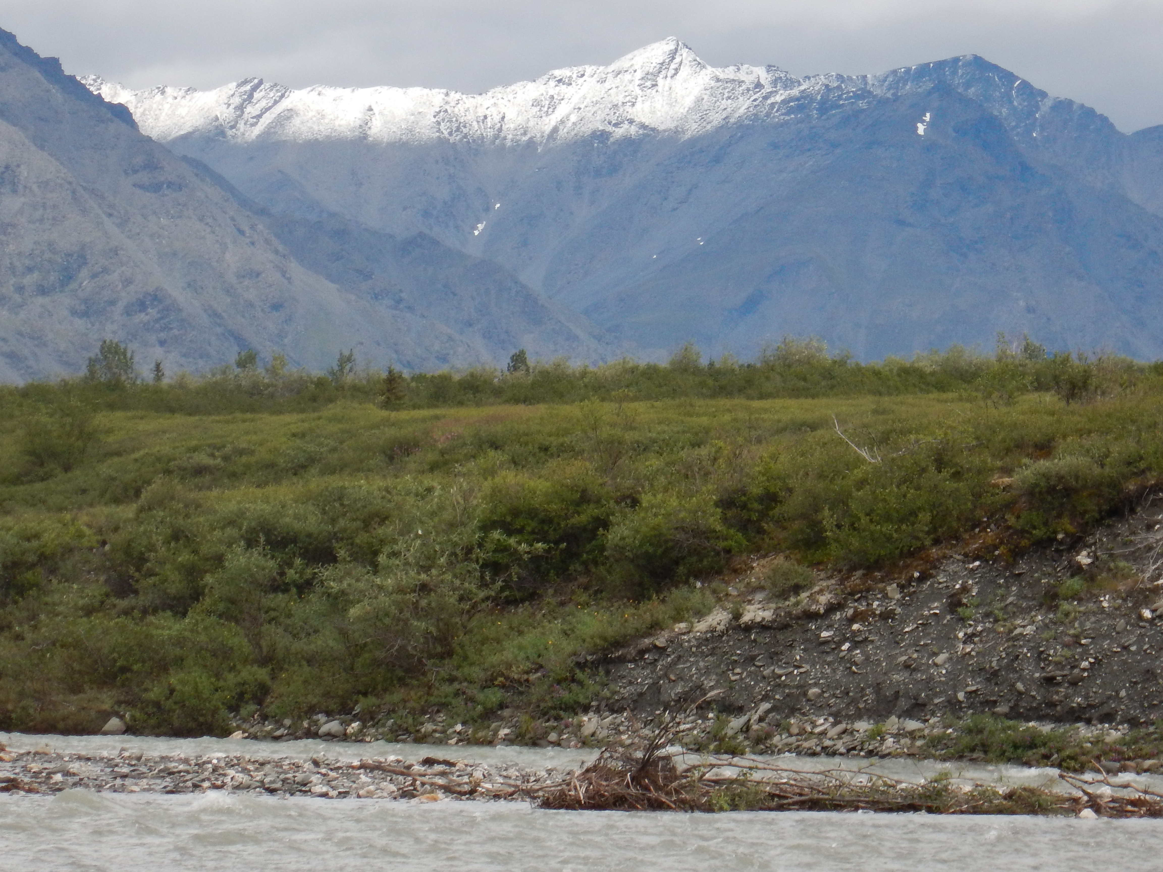
There was still a lot of snow clinging to the elevated flanks of the valley.

The sun was peeking through, as deeper stands of taller Spruce began to appear on river left.
The skies were beginning to clear nicely.

What’s not obvious from these photographs from the middle Alatna, is that the river became braided on a grand scale. The river would regularly split with large stands of forest between extensive branches of the river. It was easy to become separated in this river architecture, which was unlike those that we paddle at home; a few missed paddle strokes or a minor route choice could become a major separation of serious consequences. We needed a mid-river conference to determine a strategy to minimise the risk of separation and to deal with any that occurred.
Pete and Matt towards the end of another chilly day on the river.
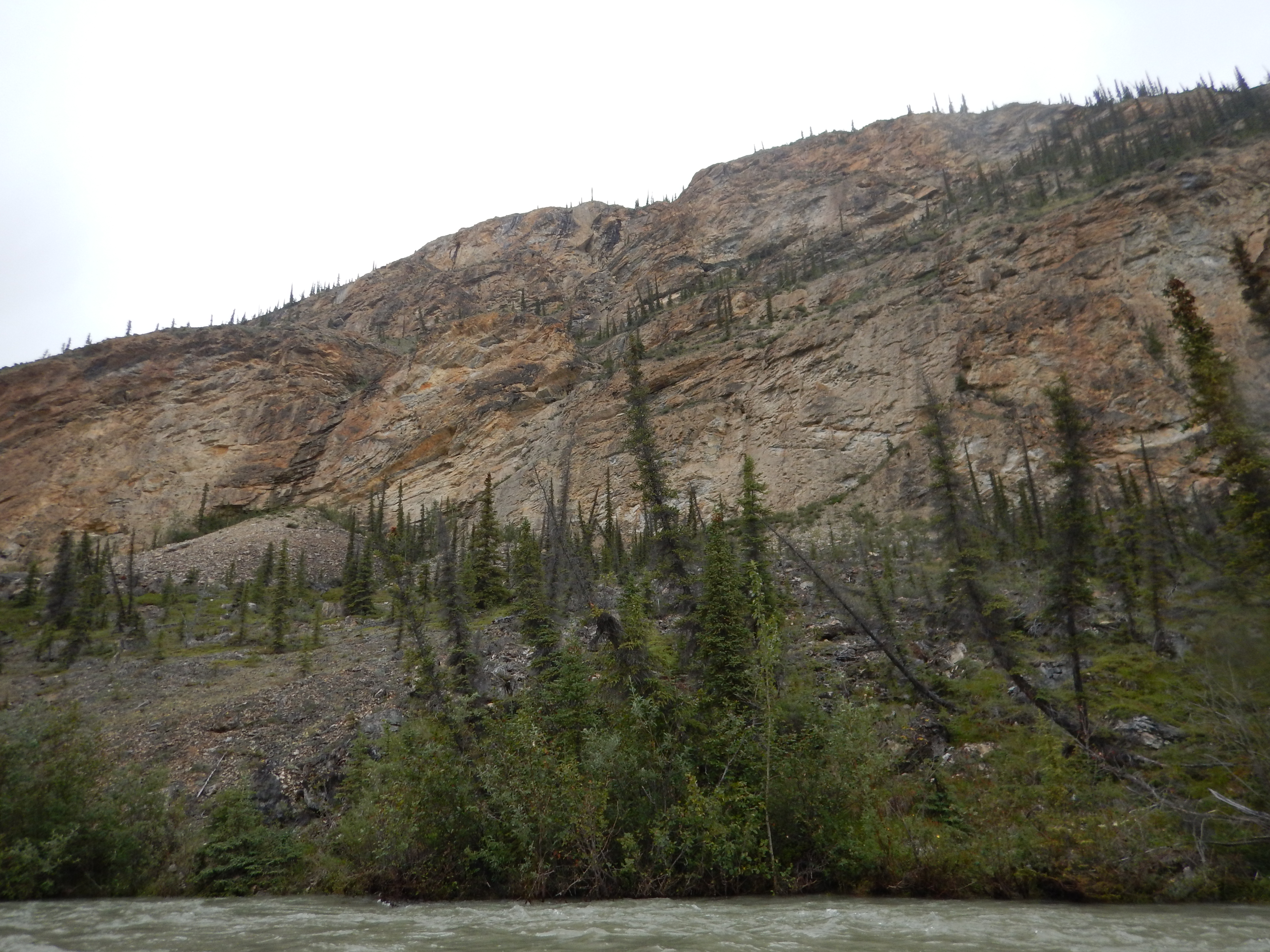
This bluff was a major landmark that I had identified from maps in my pre-trip research. It confirmed that we were approaching the Arrigetch area.
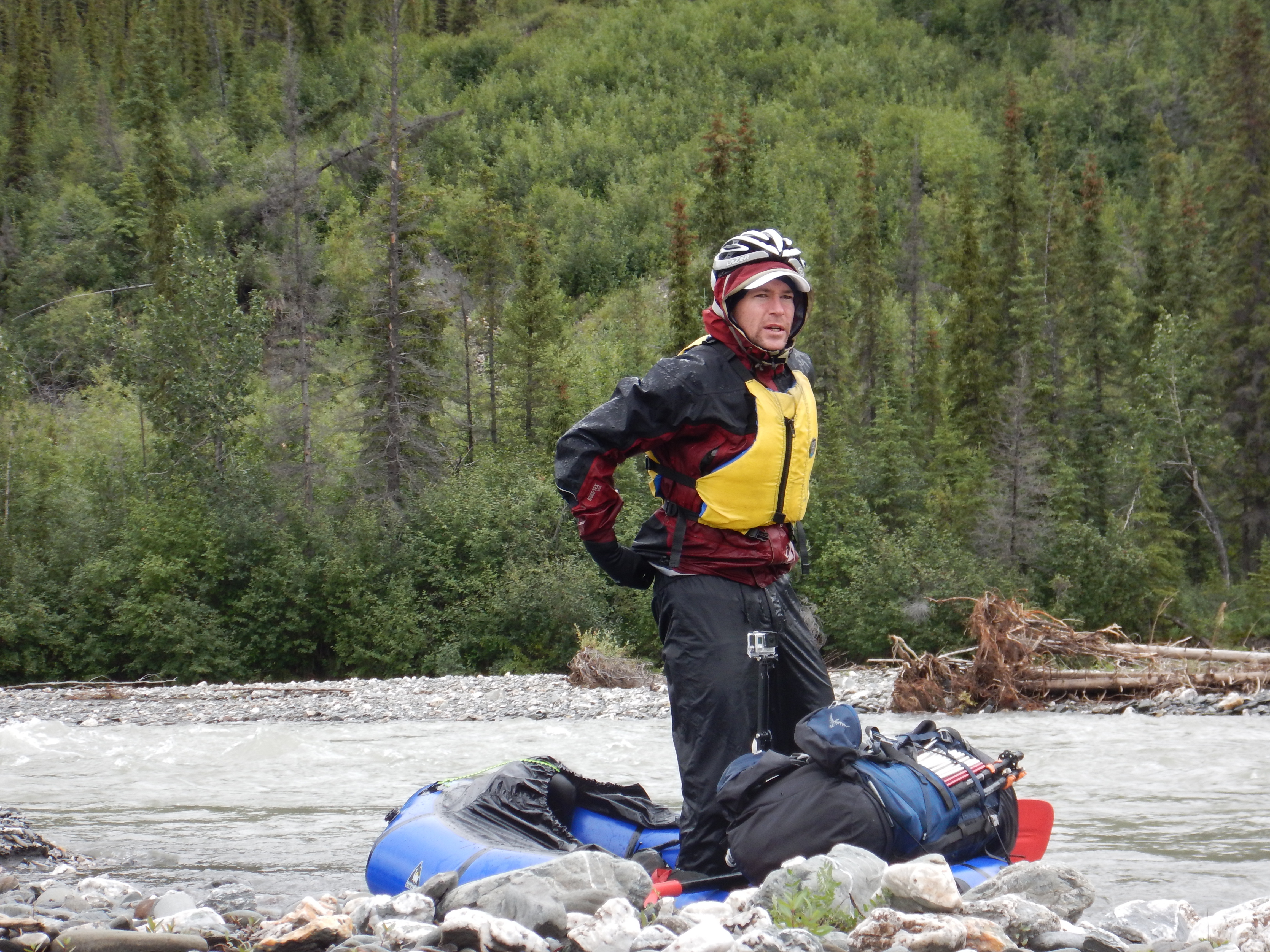
Matt, showing off his nifty Werner 4-piece carbon paddle.

I was curious about the evolutionary history of the thin and spindly Spruce trees at the margins of the tree line. Their geometry seemed optimised for snow shedding.

The mid Alatna valley is very broad, thanks to its glacial origins. The braided misfit stream uses the full width of the glacial trough as it erodes and cuts its way downstream.
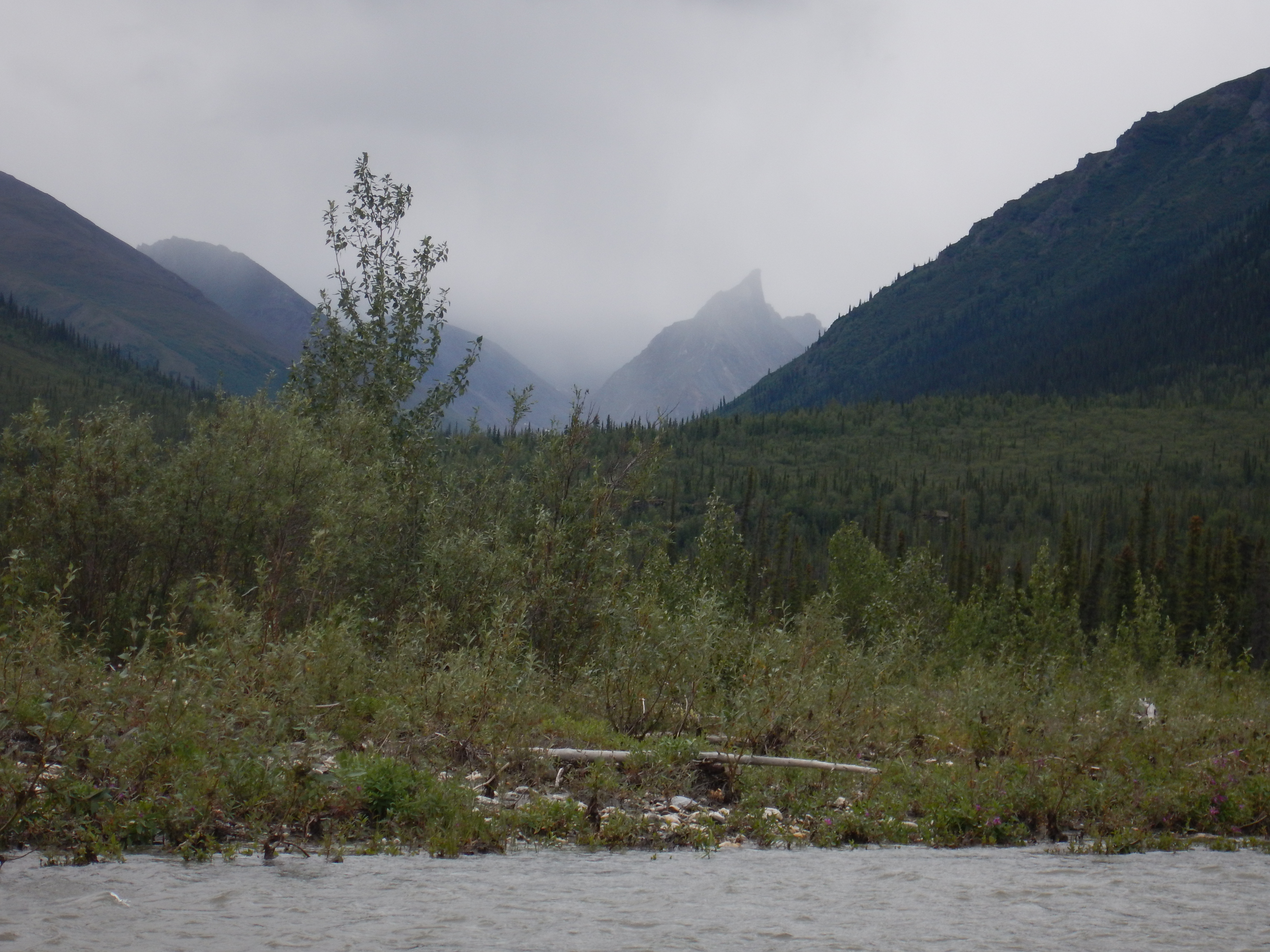
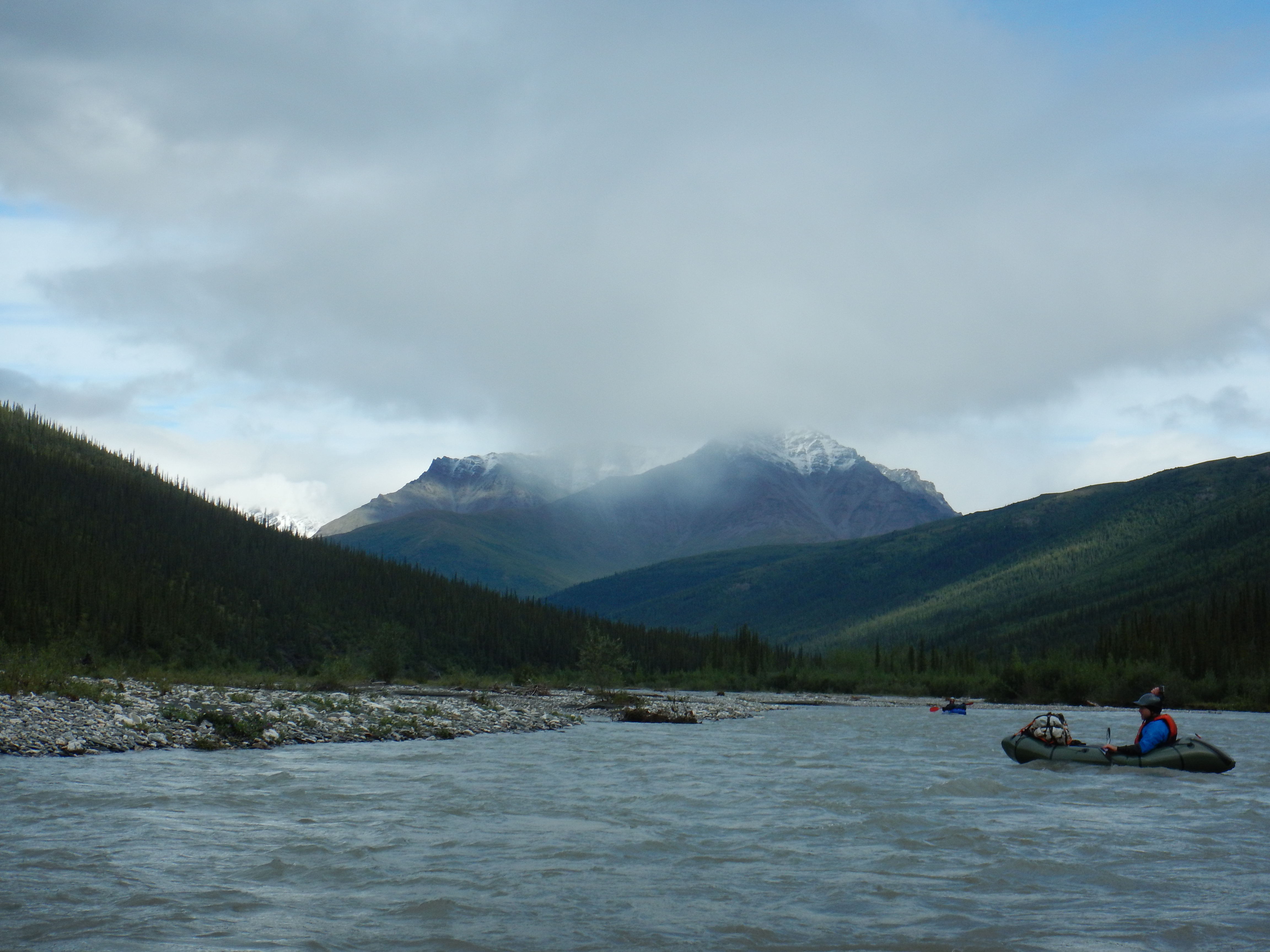
Our first river-bound glimpses of the Arrigetch Peaks had us scouting for a campsite by mid-afternoon on Day 5.
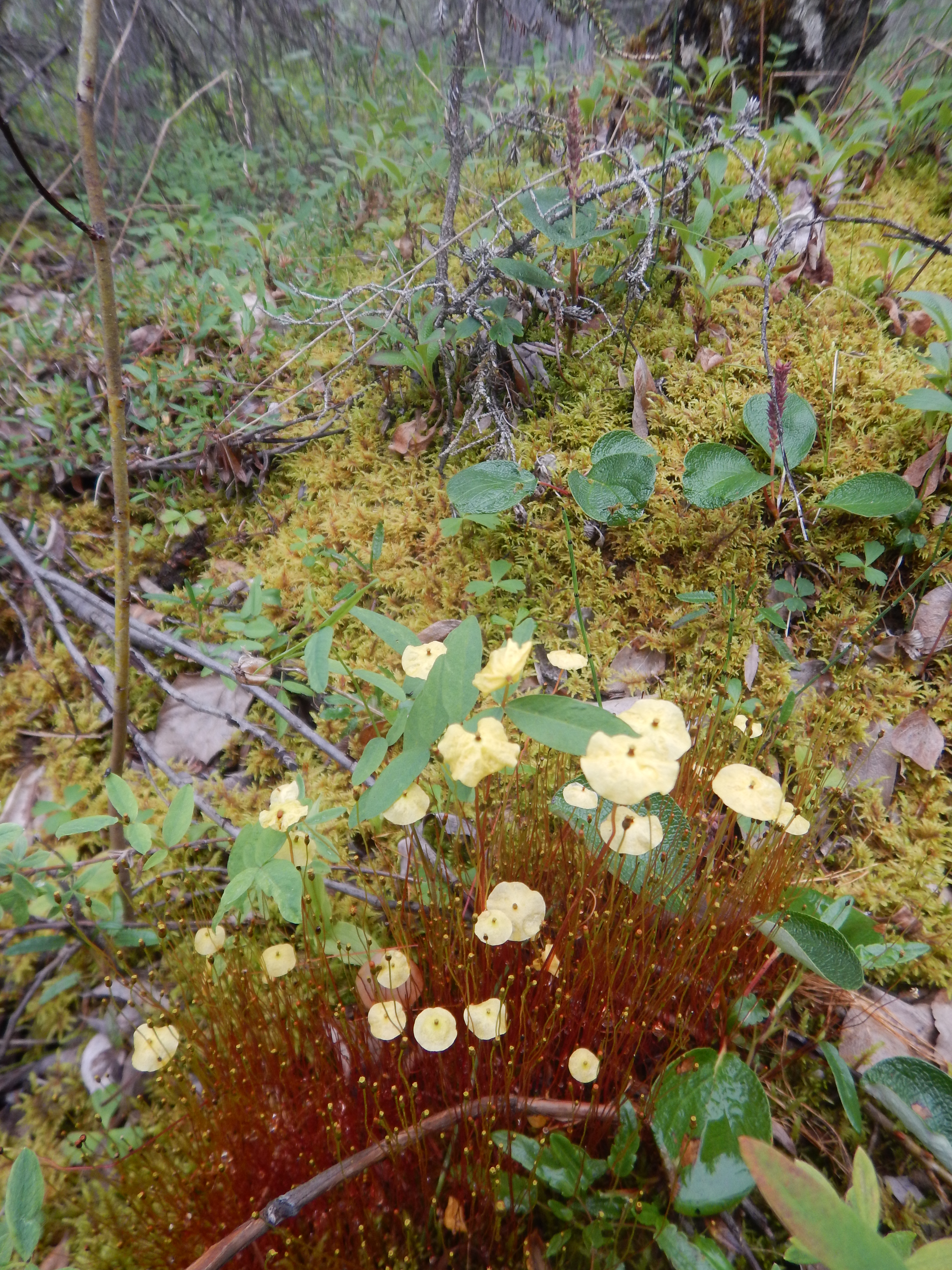
I loved the variety and beauty of the small species in the riparian forest.
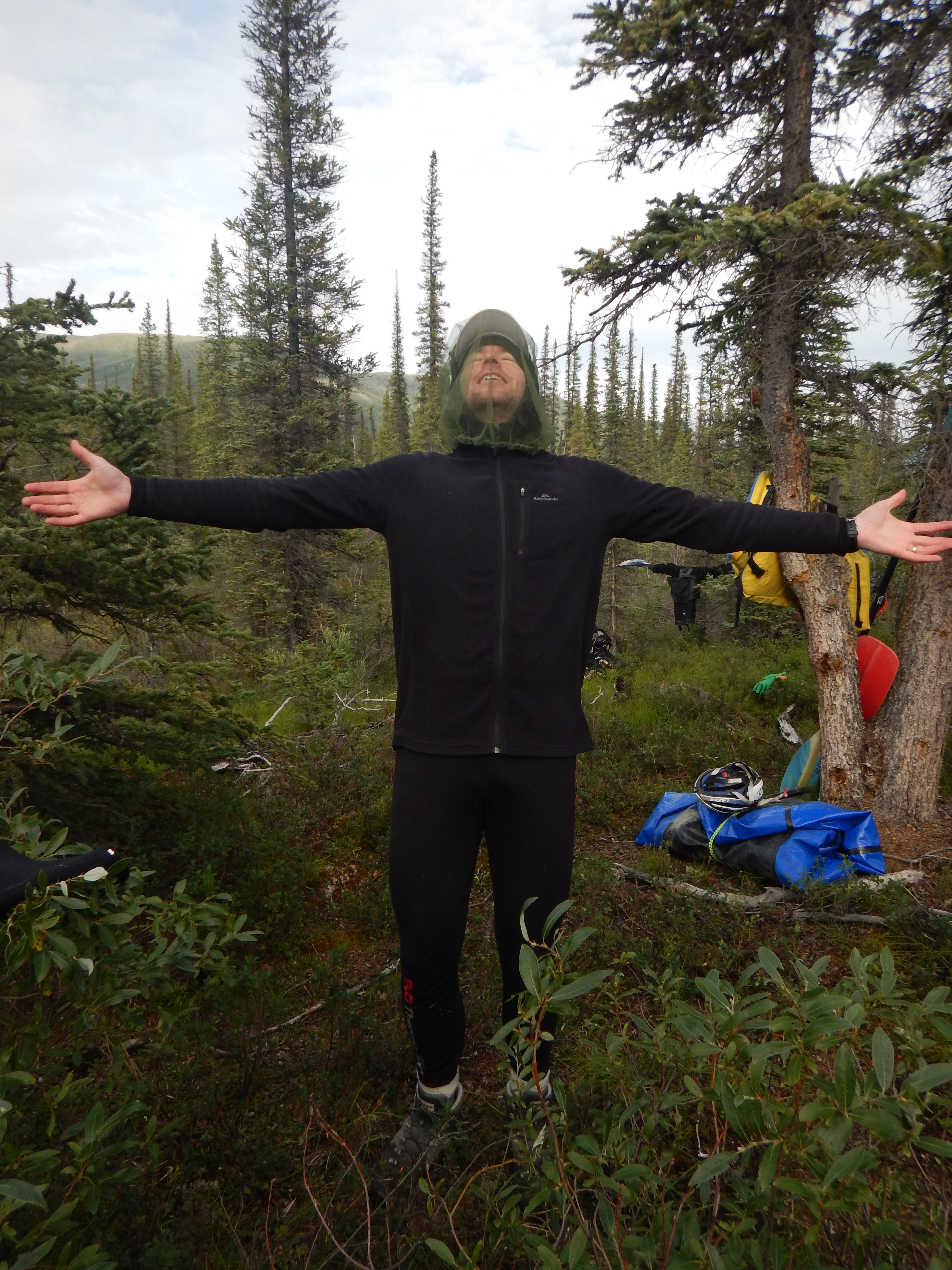
Pete has found some sunlight, and a decent tent site, on the fringe of the Spruce forest near the mouth of the Arrigetch Creek into the Alatna River. The mosquito net he wears had been unnecessary up to this point; it had been too cold for them to emerge from their lairs. As the weather gradually warmed over the next week, a few more mosquitoes began to emerge, but they were never as much of a problem as we had been warned. I never bothered wearing my mosquito head-net at all.
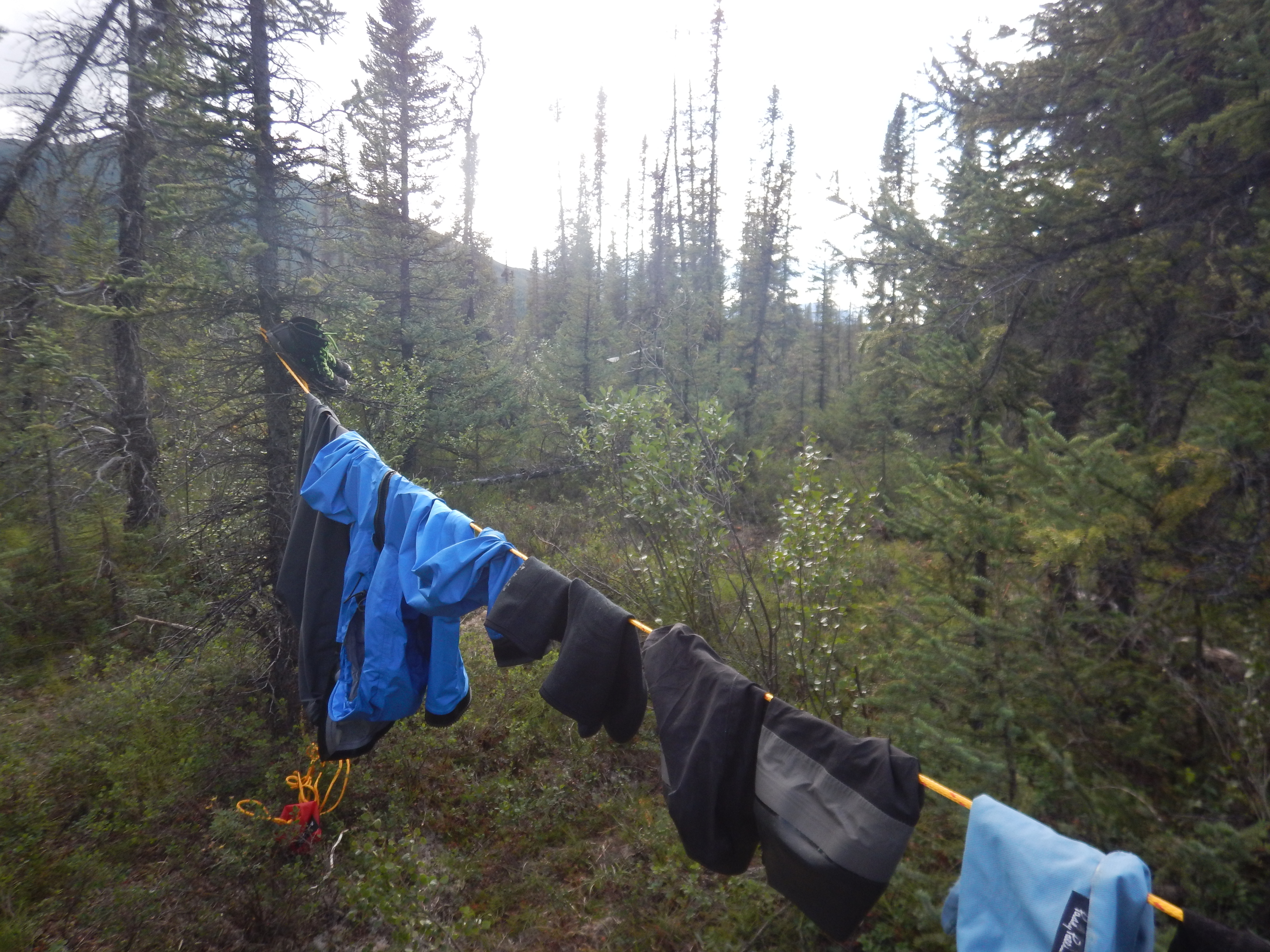
The only use made of the throwbag rope during the trip, for drying clothes.

Our new friend! This moose was crashing though the vegetation adjacent to our camp. At this point he was eye-balling us from about 20 metres away. Slowly, he made the decision to walk away. It’s hard to describe how big he was; suffice to say he was huge!
Thus ends the first phase of our little adventure. Please visit Part 2 if you are interested in reading about our scrambles amongst the Arrigetch Peaks.
Part 2: The Arrigetch Peaks

Panorama of the Arrigetch Peaks; thanks to Matt Brain of the Irenabyss Gallery.

Great story John, envious.
Very Nice John. Looking forward to more
Nicely done, guys.
G’day guys. Did this trip in 2018 and used your blog to help us plan it out. Thanks for the write-up and for the great array of pics. Pictures were surprisingly helpful in preparing ourselves for what we were up against.
If you’d like to take a read about our trip, we posted the whole experience on our own wordpress site at https://aussiesonthealatna.com/.
Thanks again. Love your work!
Ryan
I really enjoyed reading your site, Ryan. Wow, you had a steep learning curve! Can’t waste those lessons… you need to start planning your next big adventure! You have done a great job of describing and reflecting upon the errors made, and many readers will find that particularly valuable. I have shared your site on the Packrafting in Australia FB page; I believe members will enjoy it. Cheers, John
Hi Ryan,
I read your report on Gate of the Arctic! Great work! I am leading an adventure in June. We will be packrafting a section of the Alatna River and hiking in the Arrigetch Mountains. I was wondering if you found it necessary to wear a dry suit while packrafting. My friends and I will be using a large 125lbs boat.
Thanks!
Sam